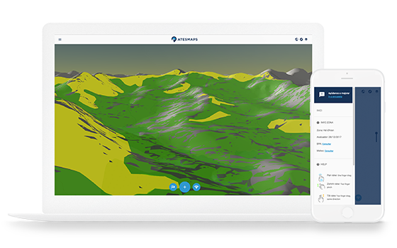
AtesmapsPersonal Project
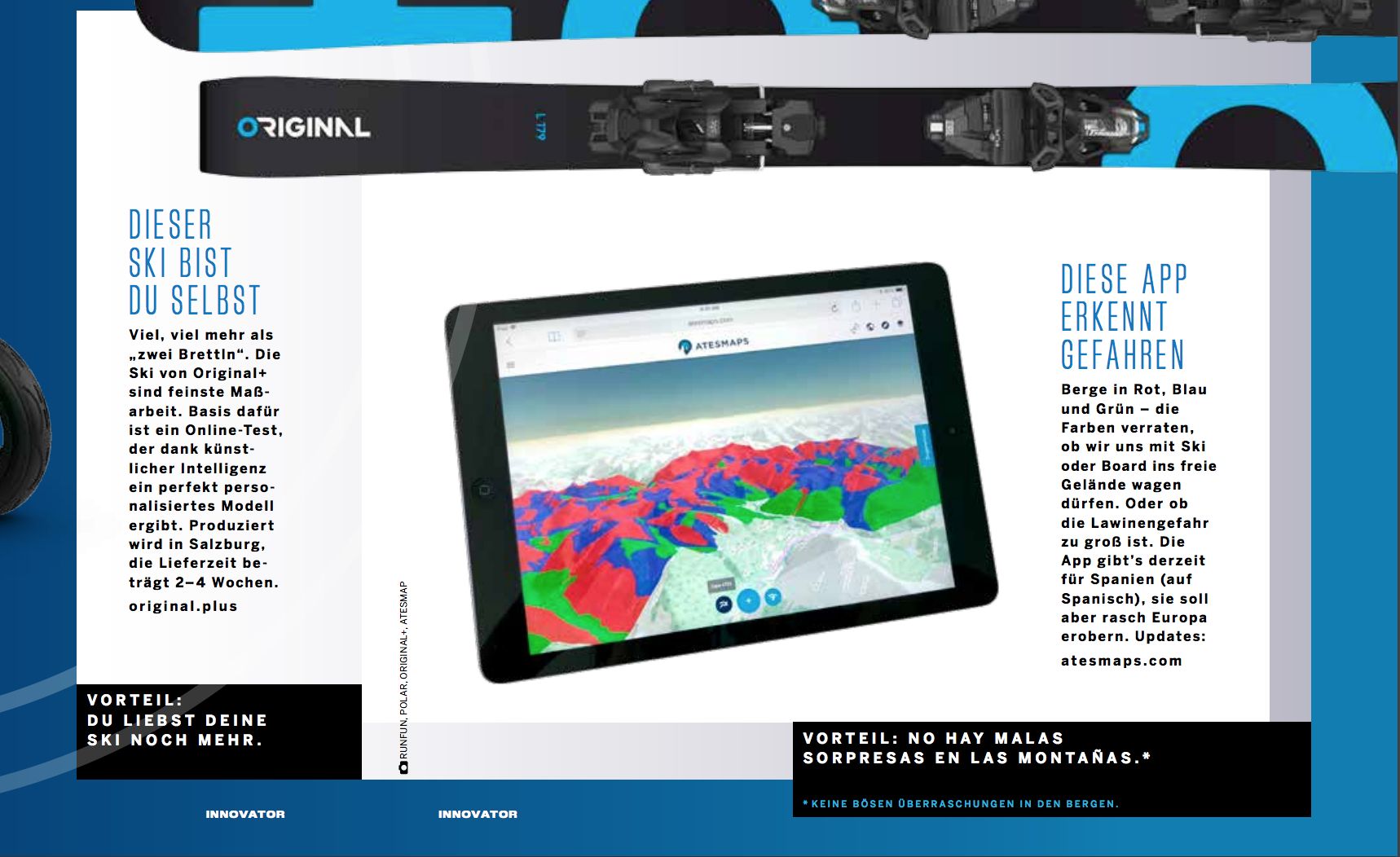
A new tool that helps you to plan your ski touring trips. Atesmaps.com combines Ates terrain classification technique
with the daily avalanche risk bulletin to provide a regional scale terrain avalanche risk analysis on a 3d map viewer.
When we prepare a touring trip a BPA (avalanche risk bulletin) check, metorology check, topography map,etc... must be checked in order to plan a safe trip.
ATESMAPS tries to become a complementary tool that help the skier to plan the touring trip using a very useful information like ATES terrain classification.
The 3D viewer allow us to set a GPX track on the map and see the areas that might be in higher avalanche risk thanks to the colourful mountain sides.
Find more at ATESMAPS Website: click here
- Category: Innovation
- Client: --
- Delivered: 2017 November
- Role: Sw. Engineer


